Clearwater, Florida

support@landprecision.com

(727) 796-2737
35 + Years of Surveying

Photogrammetric Services
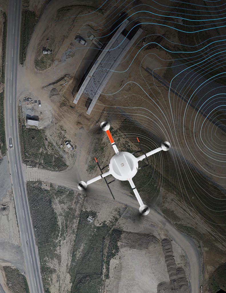
At Land Precision Corporation (LPC), we use advanced drone photogrammetry to capture detailed aerial data quickly and efficiently across commercial, industrial, and land development sites. By combining high-resolution drone imagery with professional surveying expertise, we can create accurate, information-rich mapping that helps developers, engineers, and contractors better understand existing site conditions and move projects forward with confidence.
With more than 35 years of surveying experience in Florida, LPC combines proven surveying practices with today’s advanced aerial technology to deliver dependable data for planning, design, construction, and development.
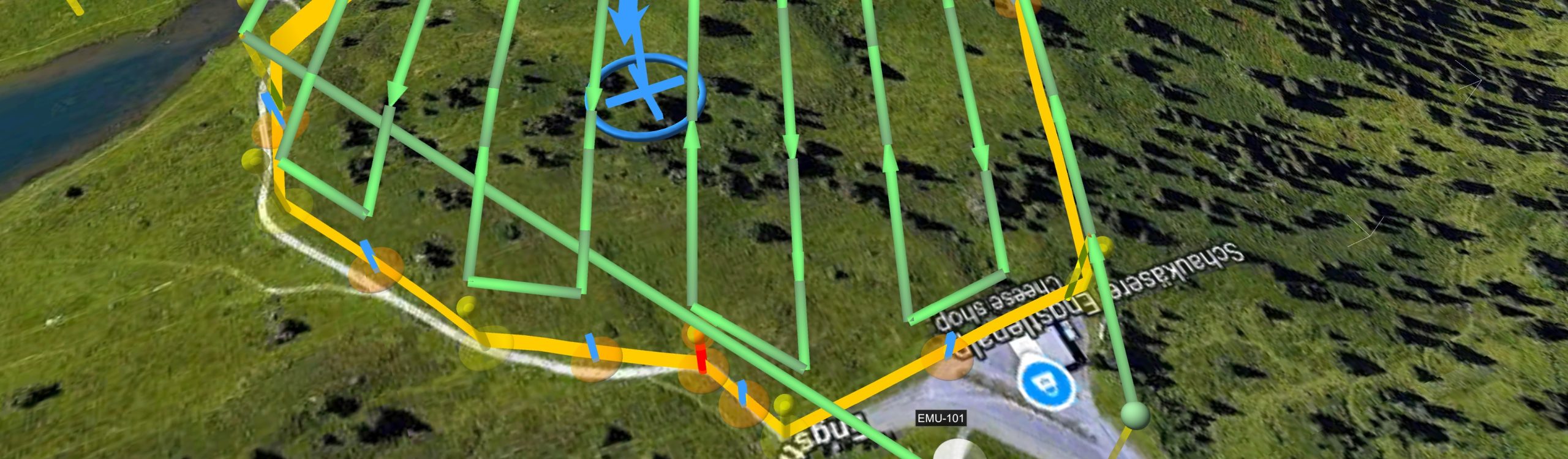
Drone photogrammetry uses a series of overlapping, high-resolution aerial photographs captured by an unmanned aerial vehicle (UAV). Specialized software processes these images to create measurable digital representations of the site, including detailed orthomosaic imagery, three-dimensional models, point clouds, and surface data.
When incorporated into a professionally controlled survey, photogrammetry can provide an efficient way to collect large amounts of site information—particularly on large or complex properties where conventional field collection alone may require significantly more time.
Depending on the project requirements and site conditions, LPC can use drone photogrammetry to assist with:
- Topographic and Existing-Conditions Surveys
- High-Resolution Orthomosaic Mapping
- 3D Site Models and Point Clouds
- Digital Surface Models
- Site Development and Design Mapping
- Construction Progress Documentation
- Earthwork and Stockpile Data Collection
- Roadway and Infrastructure Projects
- Large Commercial and Industrial Sites
- Land Development Planning
- As-Built and Construction Documentation