Clearwater, Florida

support@landprecision.com

(727) 796-2737
35 + Years of Surveying
Surveying and Mapping
Services – Land Precision Corporation offers services that are aimed at encompassing the specific needs of development and engineering design.
For more than 35 years, Land Precision Corporation has proudly supported developers, engineers, contractors, and property owners with professional planning, mapping, and surveying services for land development projects throughout Florida. Since 1991, our team has built a reputation for precision, reliability, and responsive service, helping clients move projects forward with confidence from initial site evaluation through final construction.
Successful land development begins with accurate information. At LPC, we provide the detailed data and professional guidance needed to support planning, design, permitting, construction, and project completion. Our experienced survey team understands the demands of commercial, residential, municipal, and infrastructure development, and we work closely with project stakeholders to deliver accurate, dependable results at every stage.
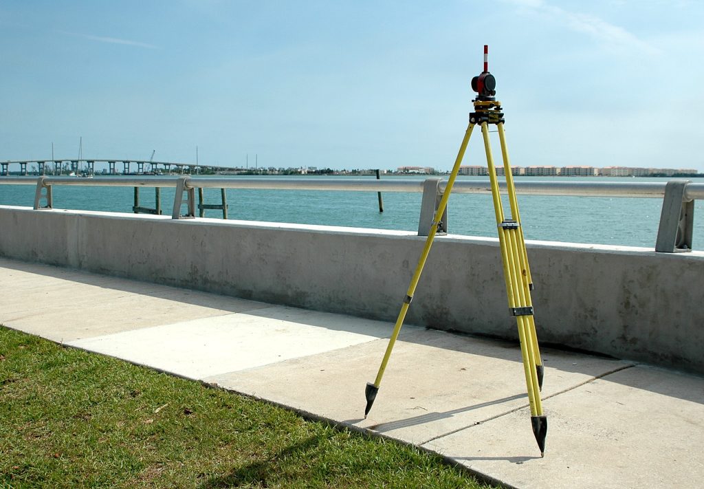
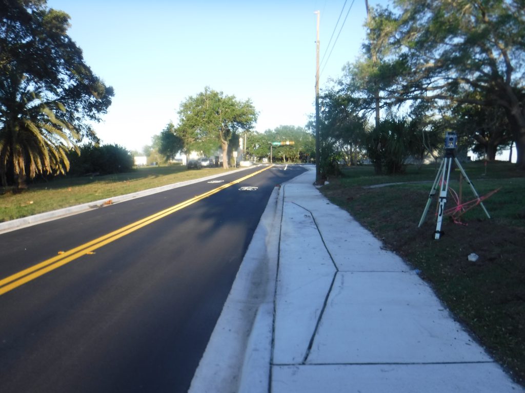
Our land development surveying services include boundary surveys, topographic surveys, tree surveys, ALTA/NSPS Land Title Surveys, construction staking, platting services, FEMA elevation certificates, as-built surveys, drone surveying, and LiDAR mapping. By combining decades of experience with advanced surveying technology, LPC provides efficient, high-quality solutions tailored to the unique needs of each project.
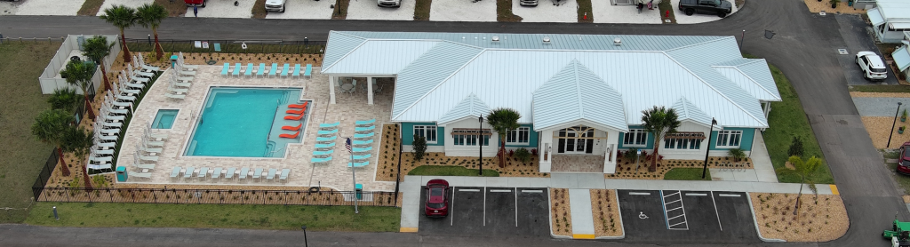
From large-scale commercial developments to complex site planning and infrastructure improvements, Land Precision Corporation is committed to helping clients reduce risk, improve decision-making, and keep projects on schedule. When accuracy matters, trust LPC to provide the planning, mapping, and surveying expertise needed to help lay the foundation for successful land development.