Clearwater, Florida

support@landprecision.com

(727) 796-2737
35 + Years of Surveying
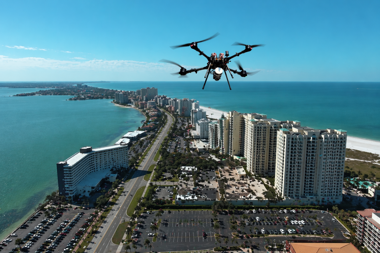
Drone Surveying Services
As the surveying industry continues to evolve, Land Precision Corporation remains at the forefront of innovation through the use of advanced drone surveying technology. Our FAA Part 107 Certified pilots utilize professional-grade unmanned aerial systems to safely and efficiently collect highly accurate site data across large, remote, or difficult-to-access properties.
Drone surveying significantly reduces field time while providing detailed aerial imagery, topographic mapping, progress monitoring, volumetric calculations, and existing site documentation. The result is faster project turnaround, improved efficiency, and valuable insights that support better planning and decision-making.
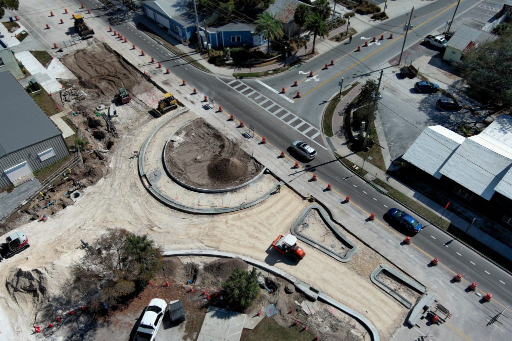
LiDAR Surveying Services
This advanced technology allows developers, engineers, and contractors to identify site constraints, drainage patterns, elevation changes, and development opportunities before construction begins. Click here to learn more.
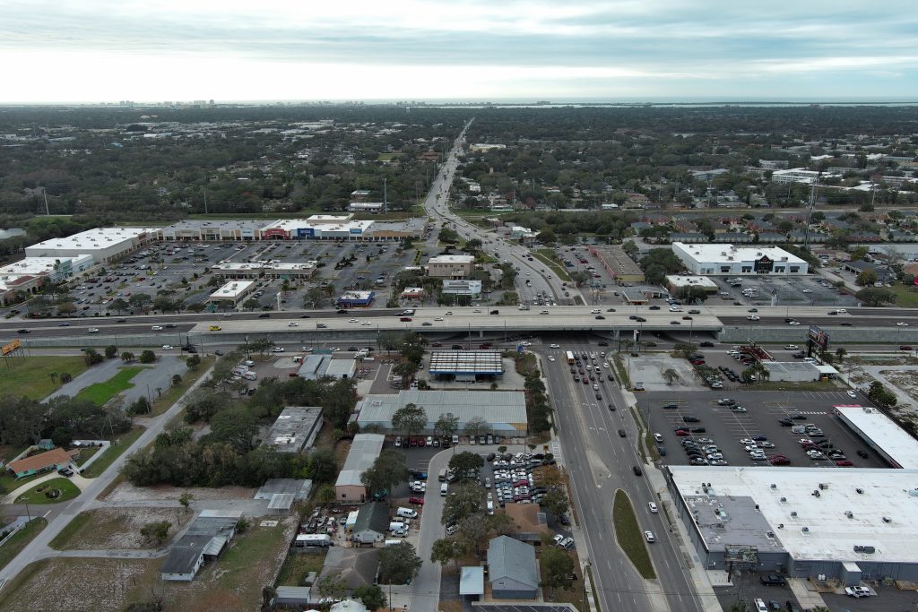
Drone Photogrammetry & 3D Mapping
Photogrammetry is an ideal solution for site planning, construction documentation, volumetric analysis, progress reporting, and marketing visualization. Click here to learn more.
A Trusted Partner for Florida Development
At Land Precision Corporation, we understand that accurate surveying is the foundation of every successful development project. Our commitment to precision, technology, responsiveness, and client service has made us a trusted resource for Florida’s development community for more than three decades.
Whether you are acquiring a property, planning a new development, designing infrastructure, or managing active construction, LPC provides the expertise, technology, and dependable support needed to help your project succeed.
Ready to Get Started?
Contact Land Precision Corporation today to learn how our commercial surveying, drone mapping, LiDAR, and photogrammetry services can help bring your project from concept to completion with confidence.