Clearwater, Florida

support@landprecision.com

(727) 796-2737
35 + Years of Surveying


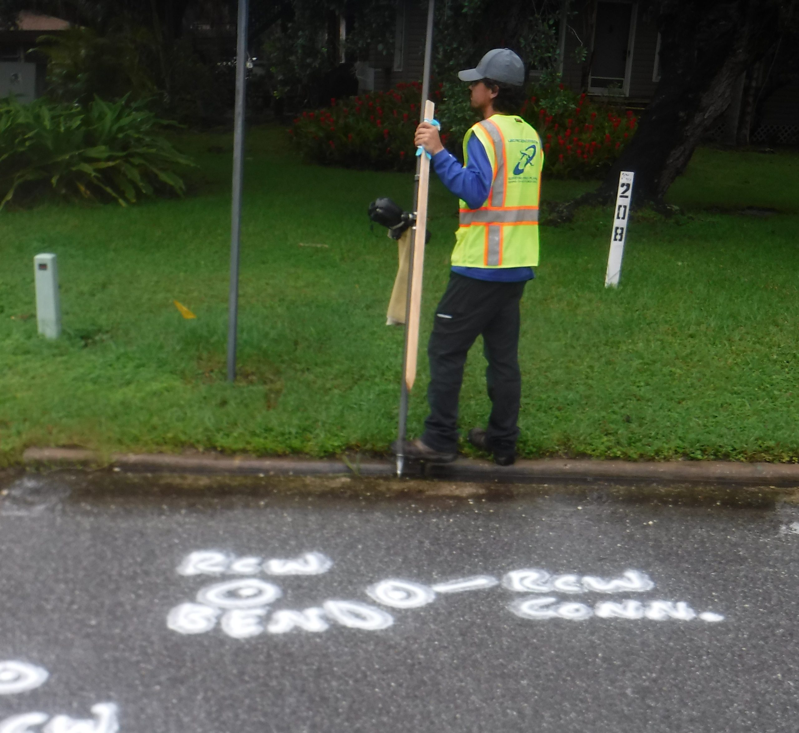
If you’ve ever wondered how new roads, railways, pipelines, or even power lines find their way through the landscape, one of the most important steps is the route survey. Often overlooked, yet crucial, route surveys are the backbone of effective and efficient infrastructure development. Let’s take a look at what a route survey is and its various purposes:
At its core, a route survey is a specialized type of land surveying focused on determining the best path for new transportation or utility routes. This isn’t just about finding the shortest distance between two points. It involves a meticulous process of collecting data, analyzing terrain, understanding environmental impacts, and considering legal factors.
A route survey is the starting point for any infrastructure project that cuts across the land. It answers critical questions: What’s the topography of the area? Are there any natural or man-made obstacles? How can the route align with existing infrastructure? By tackling these questions, route surveys lay the groundwork for successful project planning and execution.
Route surveys aren’t just about the land; they’re also about the legal tapestry that covers it. Surveyors examine property boundaries, existing easements, and land-use regulations. This information is vital to avoid legal disputes and ensure that the route adheres to local and national laws.